Packrafting the Nam Ou
Muang Ngoi —
The Island That
Time Forgot
No road access until 2013. Bamboo bridges. A viewpoint called Pha Boom. And a chalkboard bus timetable that basically says “maybe tomorrow.”
Arrival
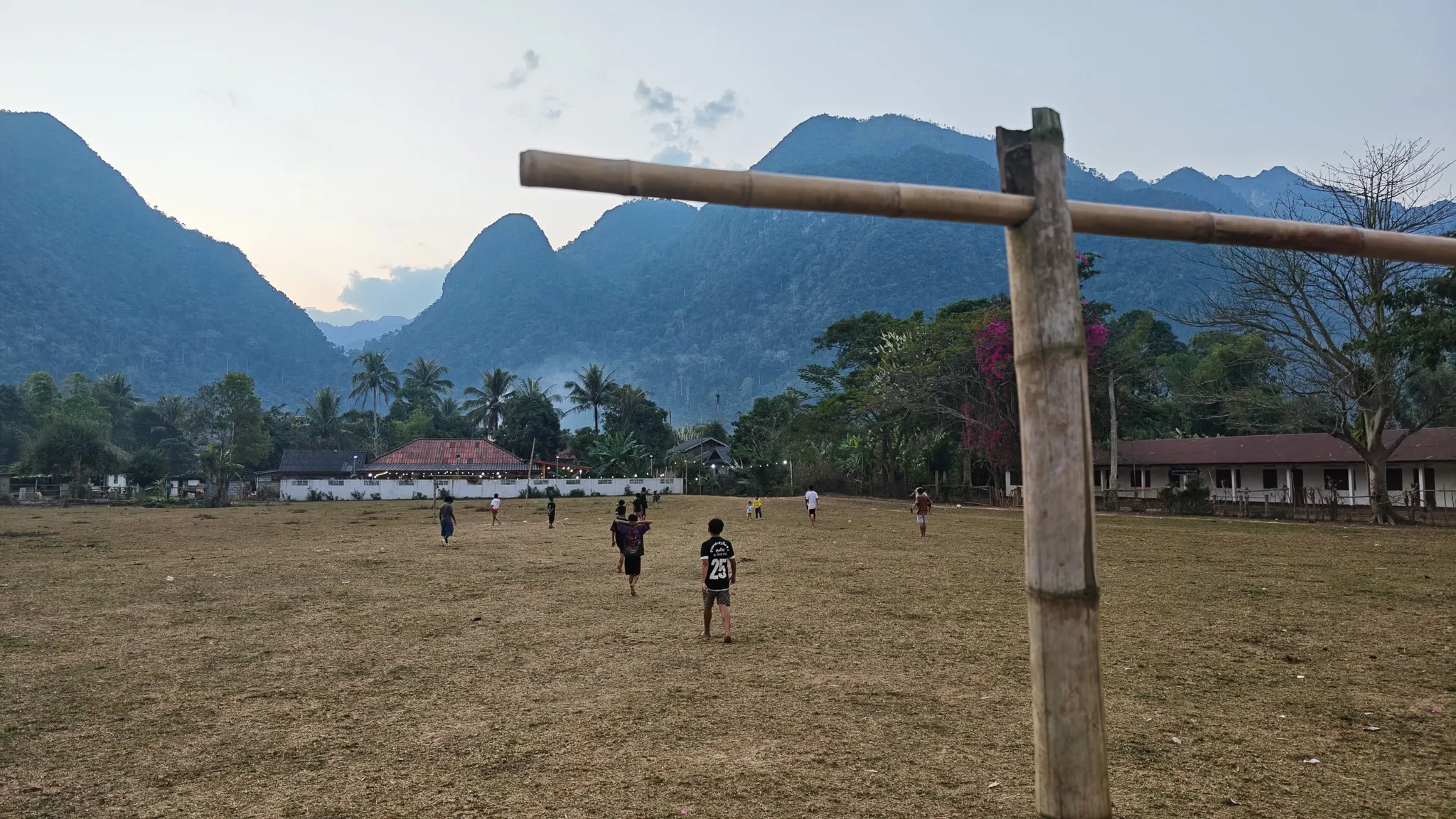
Football Against the Mountains
Muang Ngoi Neua sits on a narrow peninsula at the confluence of the Nam Ou and a smaller tributary, hemmed in on all sides by limestone karst peaks. Until 2013, there was no road — the only way in was by boat from Nong Khiaw. Even now, the road is a single-lane track that floods in the wet season. The village feels less like a place you arrive at and more like a place you wash up on.
We arrived by packraft in the late afternoon. On the dusty football field at the edge of the village, children were playing against a backdrop of karst mountains that looked like they’d been painted by a Chinese landscape artist having an exceptionally good day. The goalposts were bamboo poles. The ball was half-deflated. Nobody cared.
The Bridge
Bamboo & the Secret War
The bamboo bridge at Muang Ngoi is rebuilt every dry season and washed away every monsoon. It’s a tradition older than anyone can remember — lashed bamboo poles stretching across the river, flexible enough to bounce underfoot, strong enough to carry motorbikes. During the wet season, a boat replaces it. During the dry season, it’s the main crossing to the farms and caves on the far bank.
This area sits along what was once the Ho Chi Minh Trail network. Between 1964 and 1973, the US dropped over two million tonnes of ordnance on Laos — more bombs per capita than any country in history. Muang Ngoi was heavily targeted. UXO (unexploded ordnance) still litters the surrounding hills. The caves across the bridge served as bomb shelters. Today, hikers walk past UXO warning signs on the trail to the viewpoint.
Evening
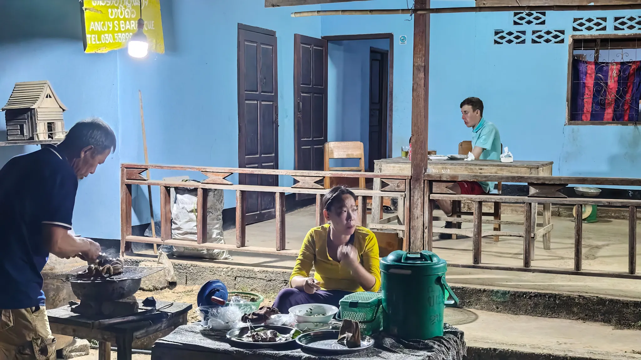
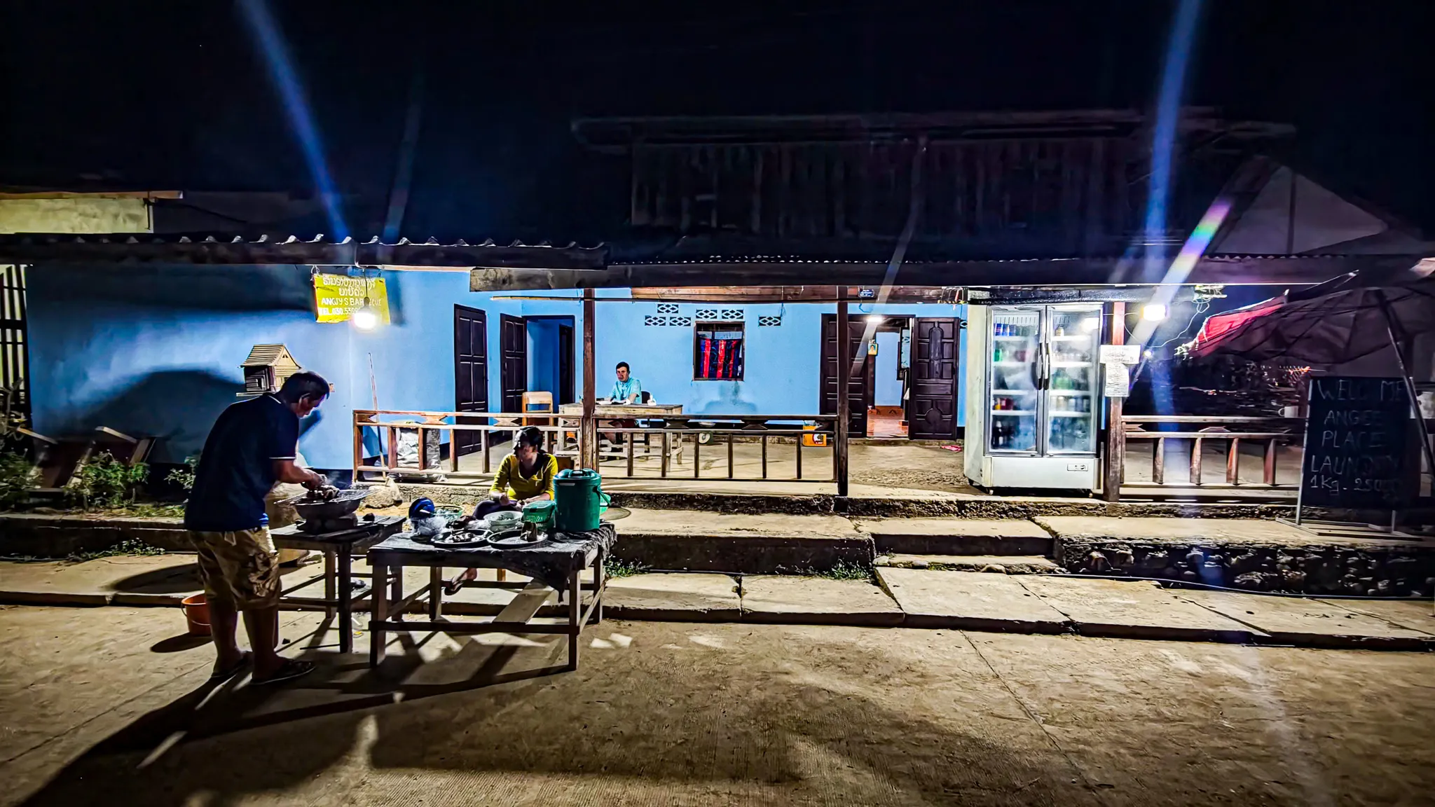
Angee’s BBQ & Beerlao
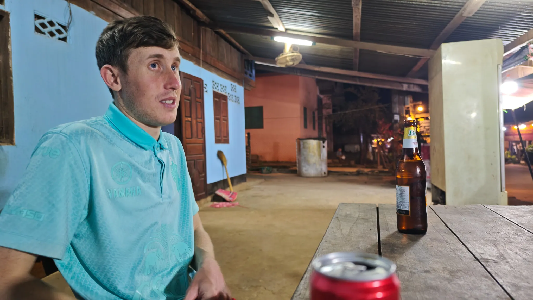
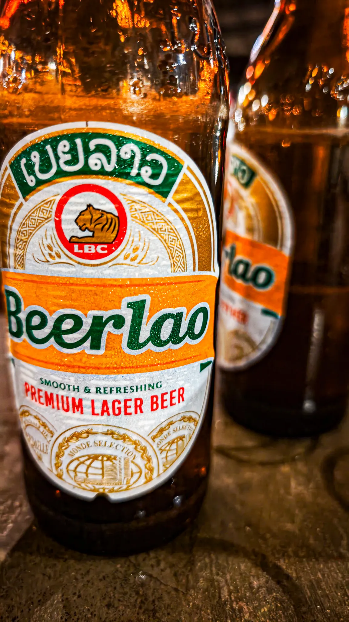
Muang Ngoi has one main strip — a dirt path running north to south between guesthouses, restaurants with cushions on the floor, and a few shops selling Beerlao and instant noodles. After dark, the best thing on the strip is Angee’s BBQ — a street food stand where a woman grills skewers of pork, chicken, and river fish over charcoal. You sit on plastic stools. You point at what you want. She grills it. You eat it with sticky rice (khao niao, ข้าวเหนียว) rolled into balls with your fingers.
Afterwards: Beerlao on the guesthouse terrace, the river invisible in the darkness, the only sound a generator humming somewhere and frogs doing whatever frogs do at 10pm in Laos.
The Hike
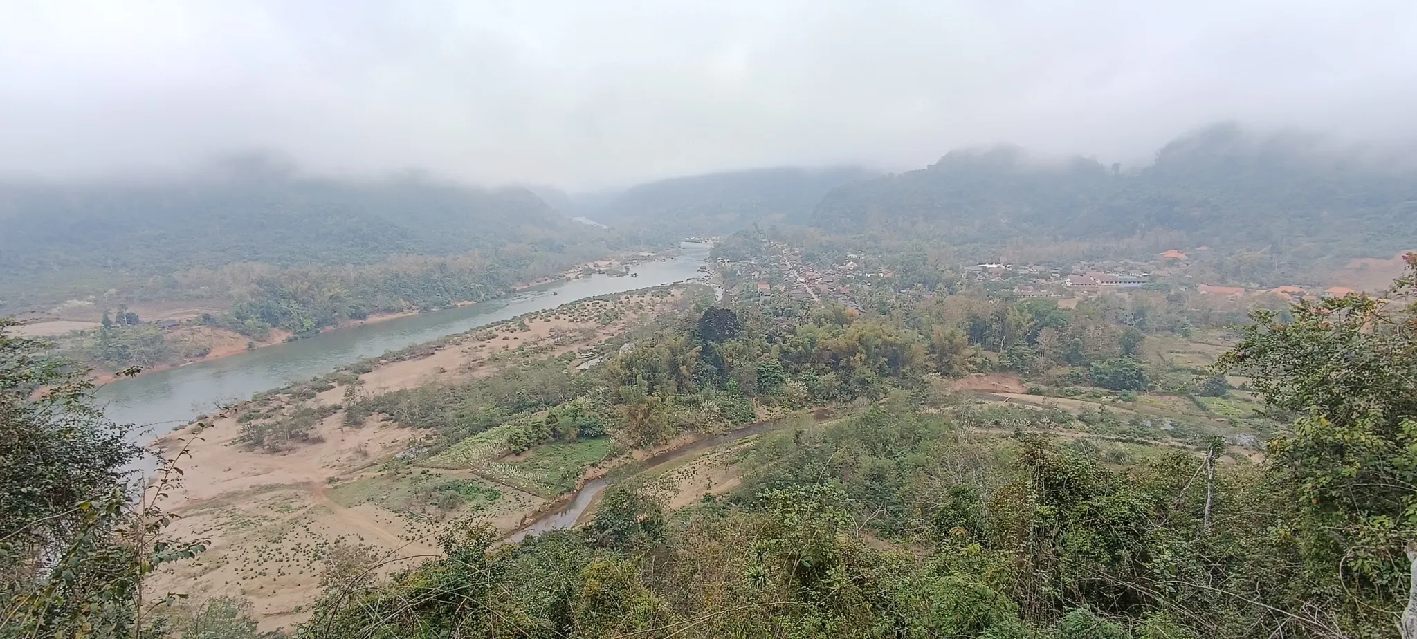
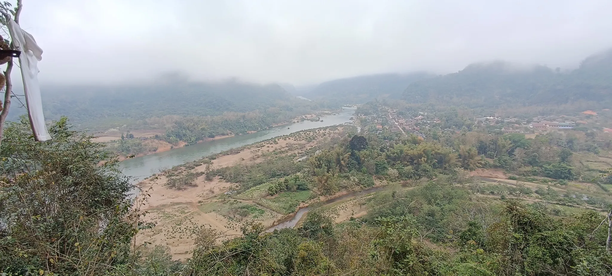
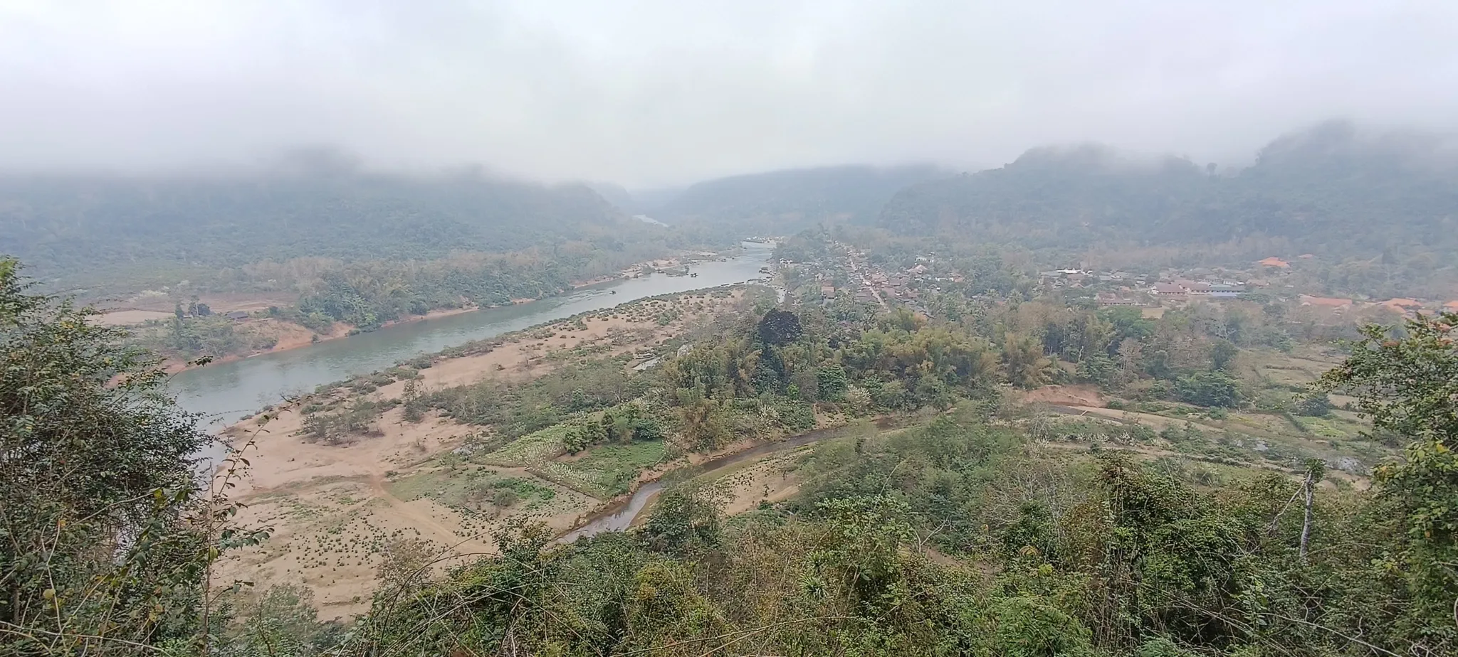
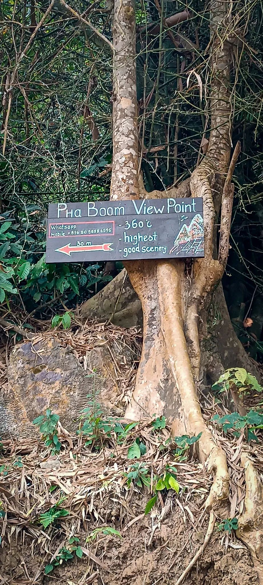
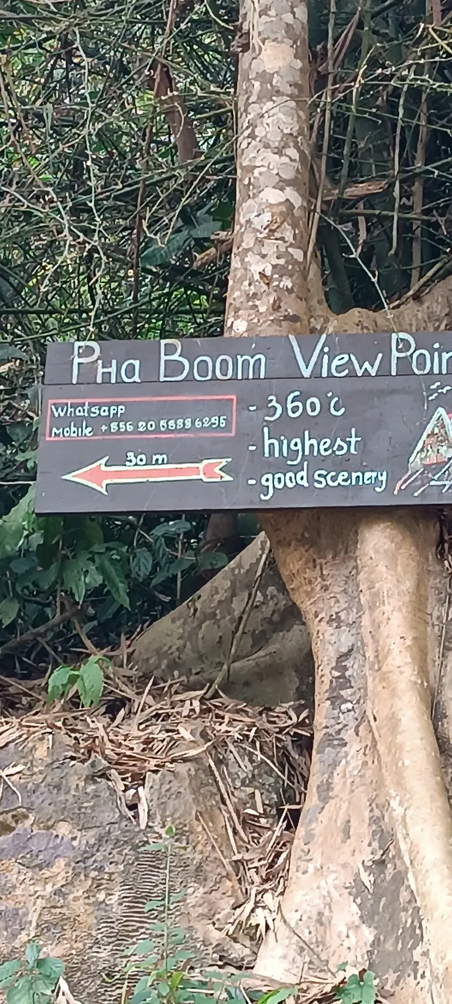
Pha Boom — 360 Degrees of Karst
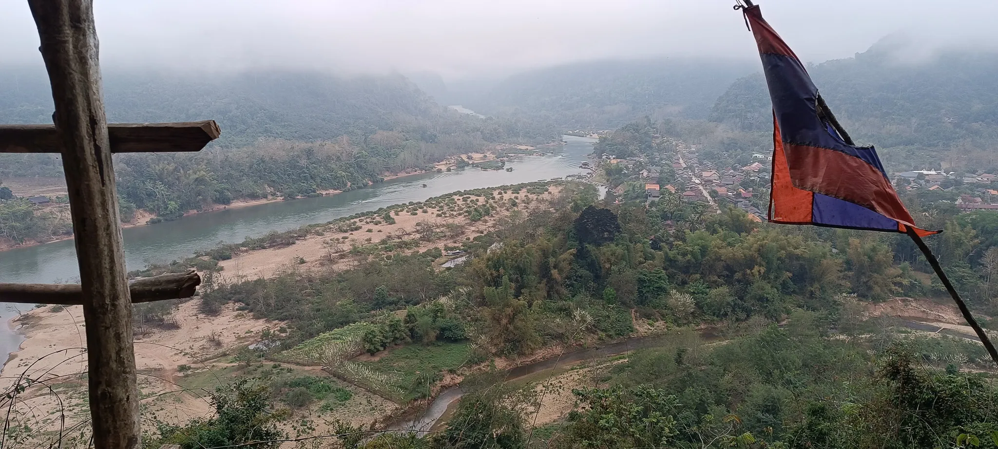
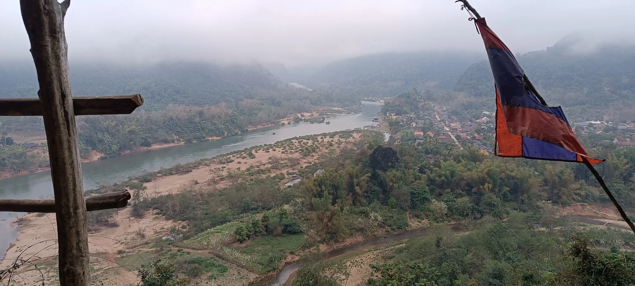
The trail to Pha Boom viewpoint starts behind the village and climbs steeply through forest for about 45 minutes. A hand-painted wooden sign nailed to a tree promises “360 degree views” and “good scenery.” Both claims are underselling it spectacularly.
At the top, the Nam Ou unspools below like a brown ribbon through a valley of karst peaks disappearing into mist. The Lao flag flies from a bamboo pole. The village is a cluster of tin roofs far below. On a clear morning, you can see the river bending south towards Nong Khiaw. On our morning, the mist hung in the valleys like smoke, and the peaks floated above it like islands.
Getting Around
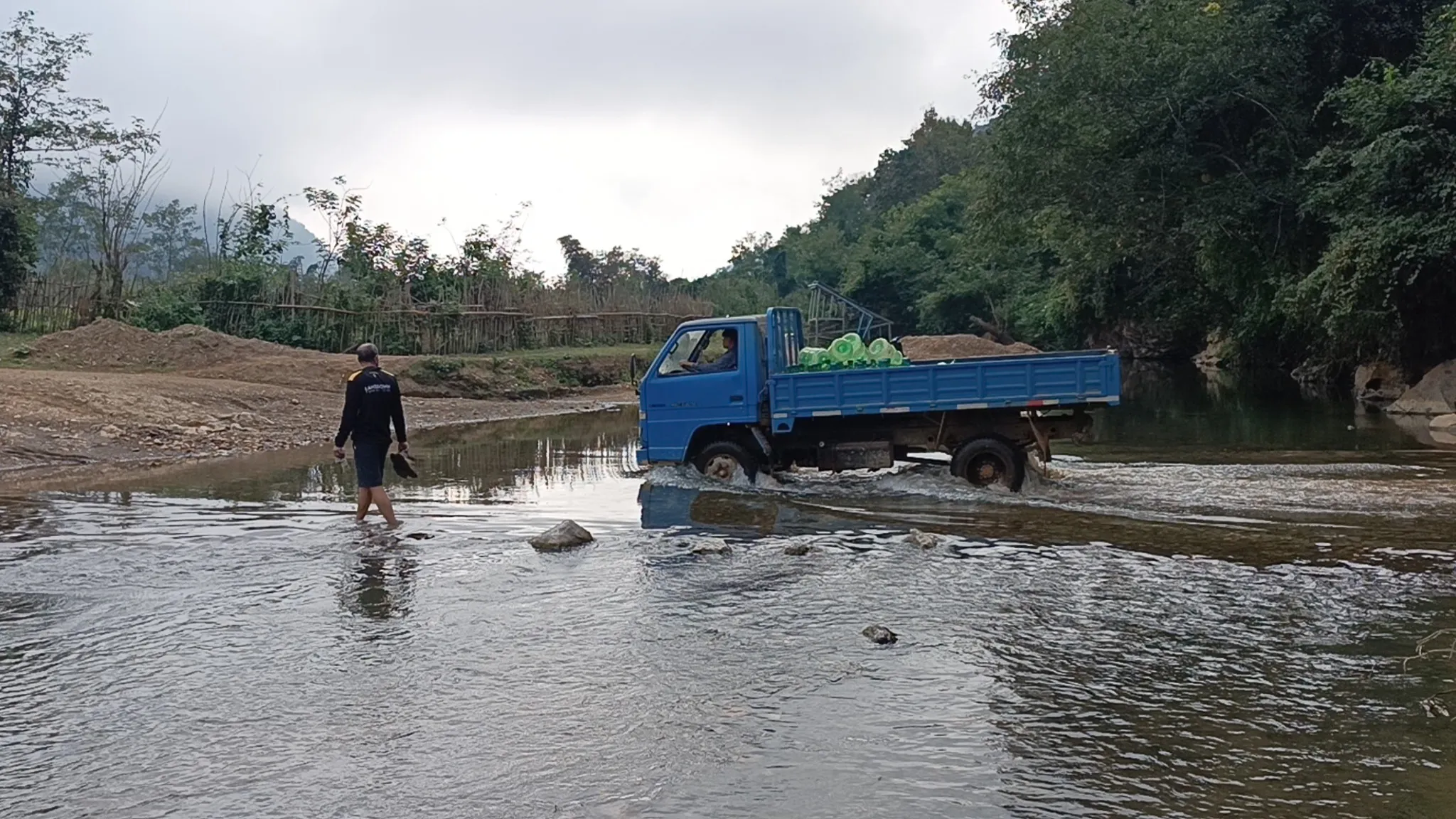
No Bridge? No Problem.
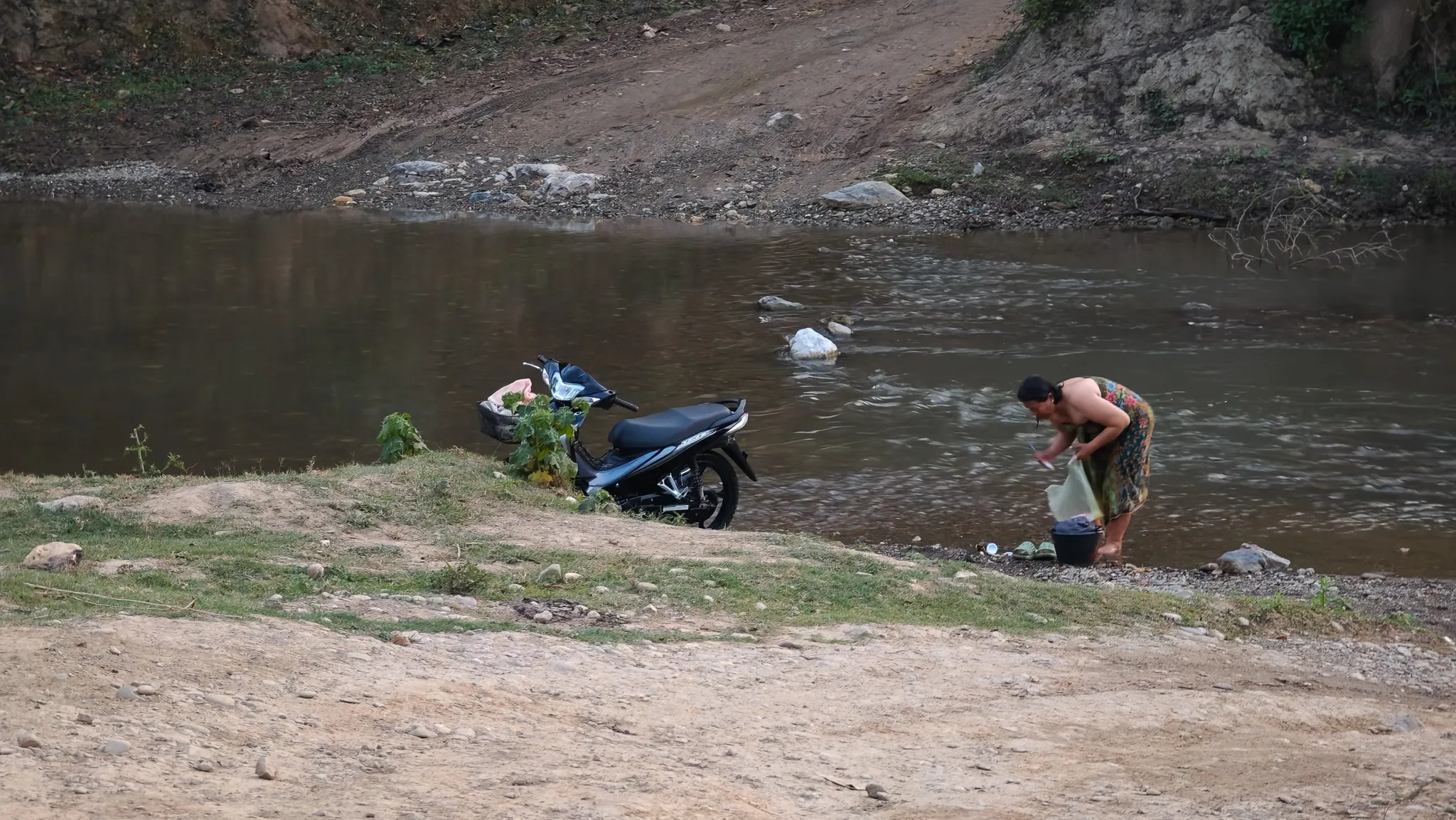
On the way back from the caves, we met a blue truck fording the river. The driver waded alongside it, water up to his thighs, checking the depth. A man walked beside him. There was no bridge, no crossing, no alternative — just a truck, a river, and a willingness to get wet. This is how things work in rural Laos. You don’t wait for infrastructure. You drive through the river.
Logistics
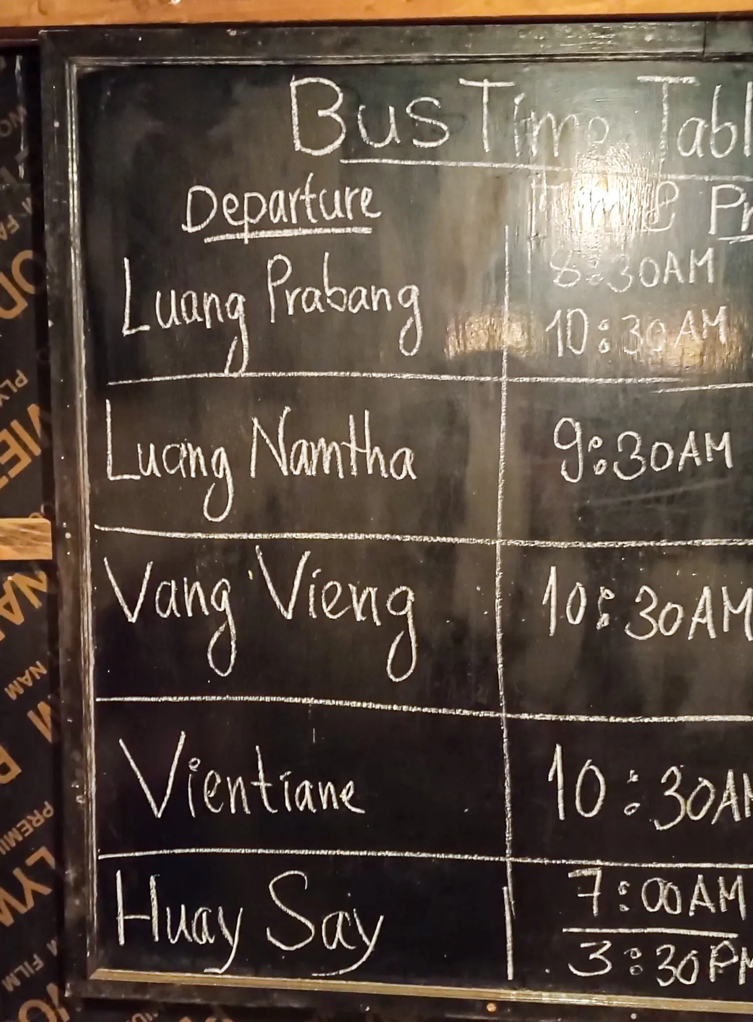
The Chalkboard Schedule & Balcony Life
At the Nong Khiaw bus station — a generous description for a wooden shack with a bench — the bus timetable is written on a chalkboard. Departures to Luang Prabang, Vang Vieng, Vientiane, Huay Say. The times are approximate. The days are aspirational. The chalkboard itself looked like it hadn’t been updated since the French left. In Laos, getting somewhere is less about planning and more about showing up and seeing what happens.
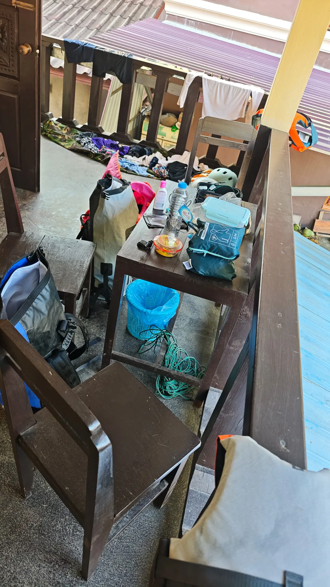
Back at the guesthouse, our packraft gear dried on the balcony — life jackets, dry bags, paddles leaning against the railing. Tomorrow we’d pack it all up and paddle south to Nong Khiaw. Today, we watched it dry and called it productivity.
Next
Nong Khiaw — The Bridge Between Worlds
Paddling south from Muang Ngoi into the karst corridor. River caves, the famous bridge, and the town where the road meets the water.
Read Next →