Day 3 on the Nam Ou

Rapids, Dams &
87 Kilometres

A broken jetty, the first dam portage, grade 1 rapids, and 38 kilometres to reach Muang Ngoi. Total journey complete.

38 km
Today
87 km
Total journey
Grade 1
First rapids

Morning

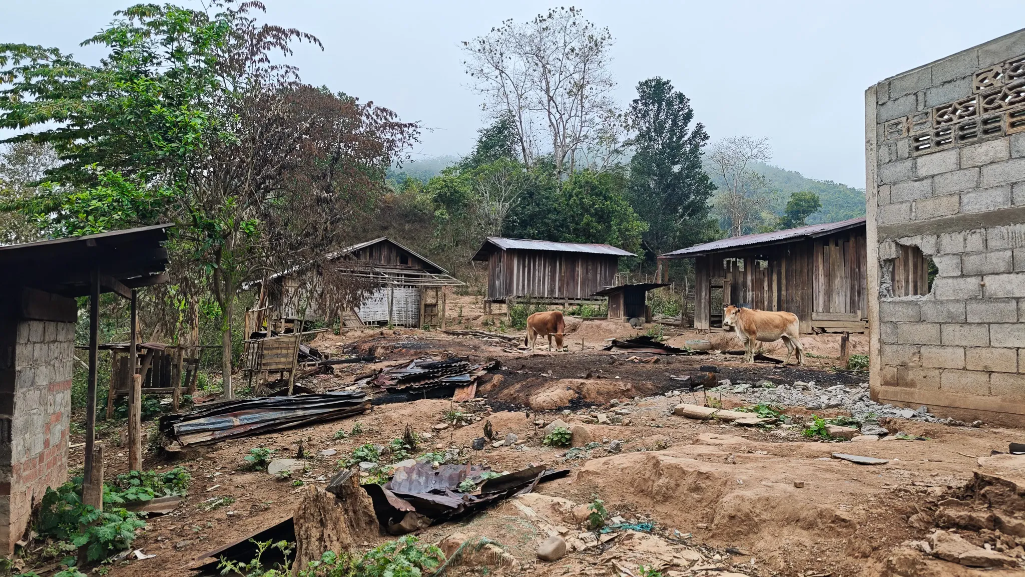
Leaving the Settlement

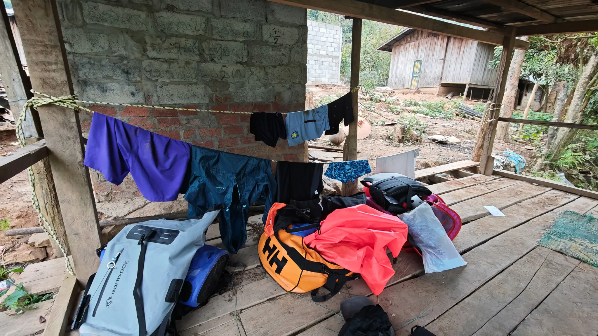
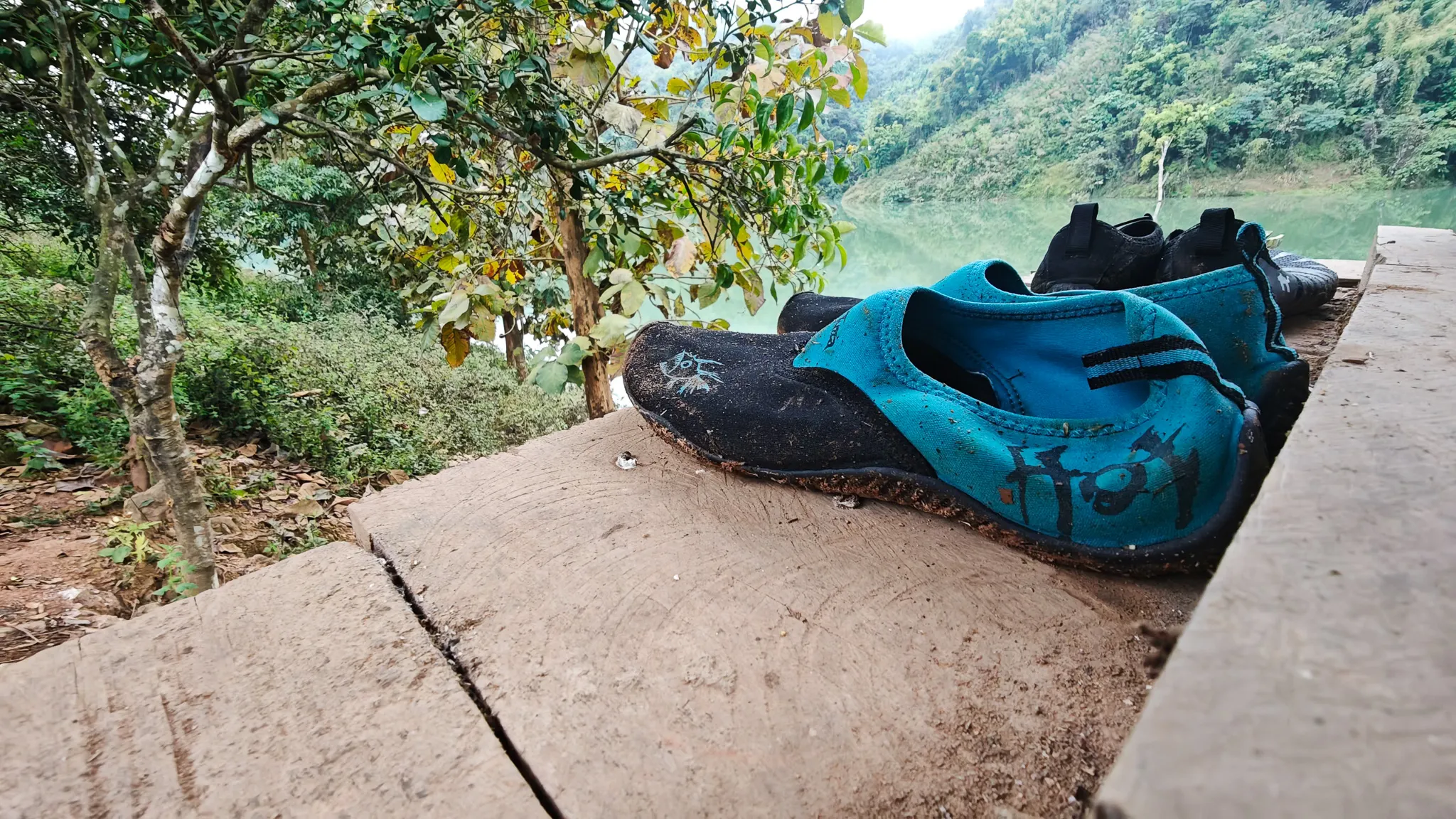
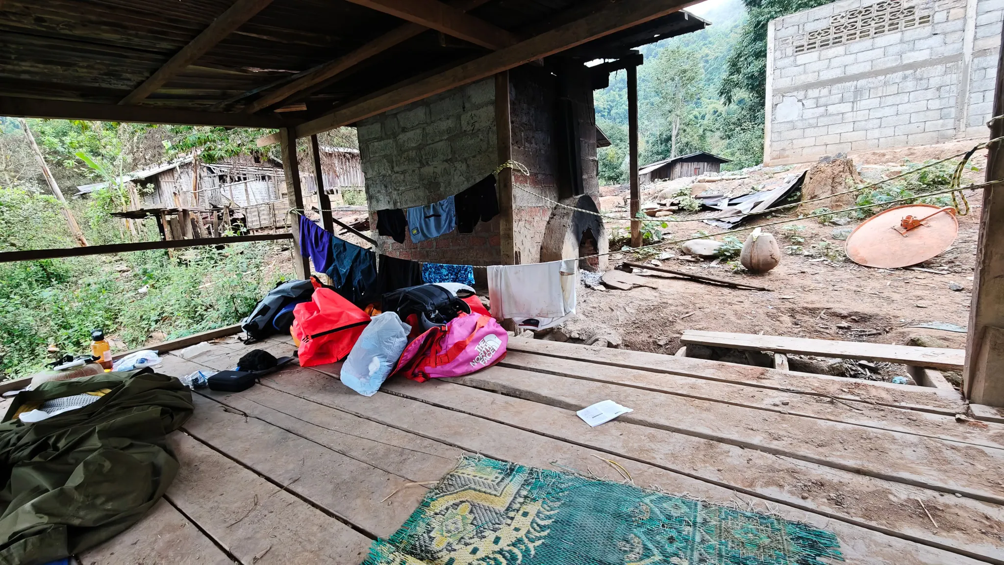
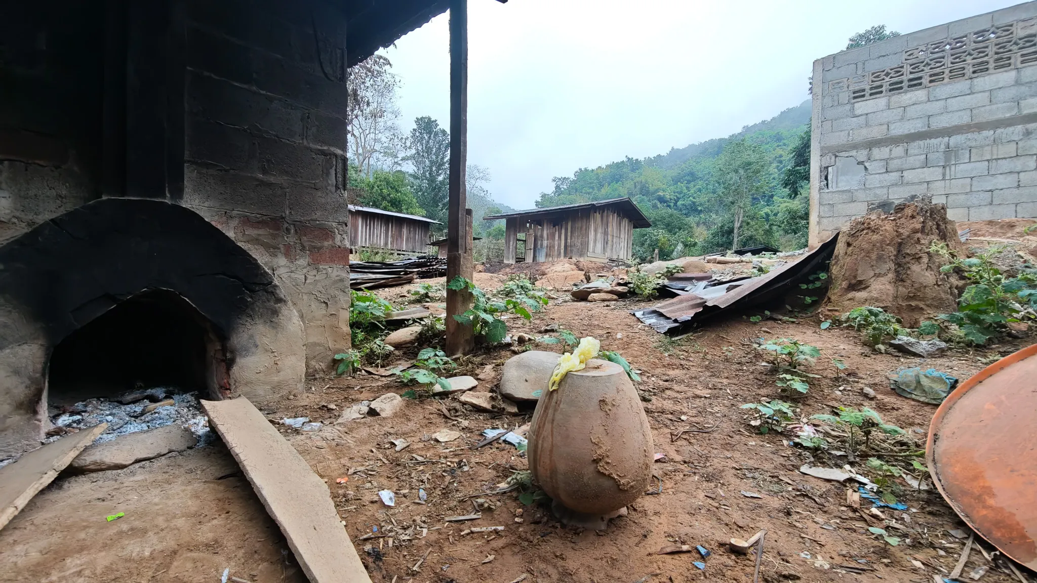
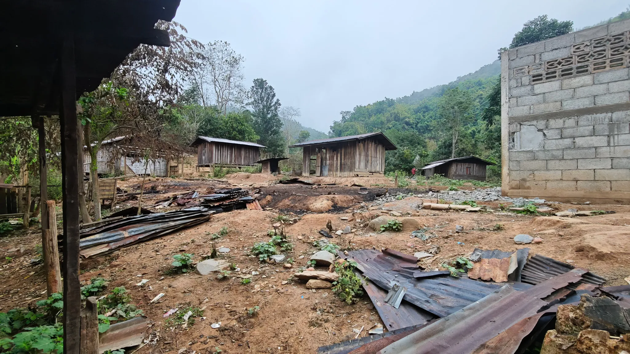
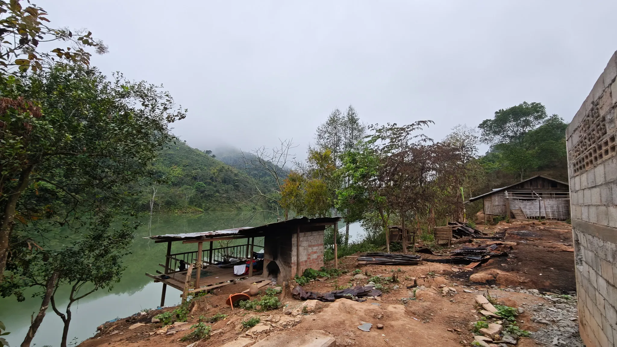
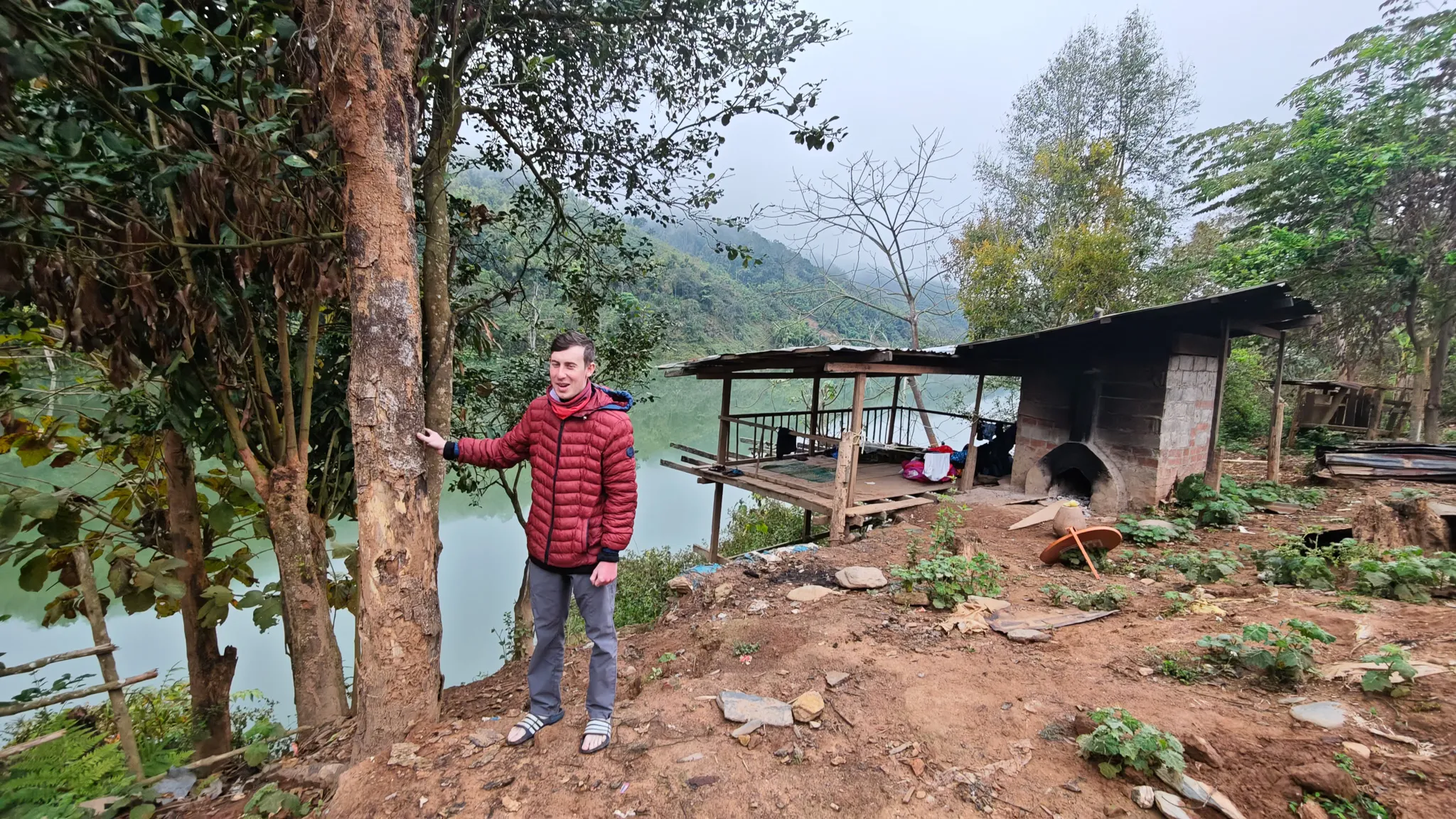
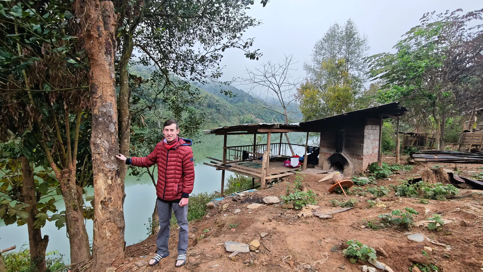
We woke on the concrete floor of the abandoned shelter. The fire had gone out. The oxen were still there. We packed the packrafts, dried our shoes in whatever sun the morning offered, and pushed off into the Nam Ou for the last time.

Today would be our longest day — 38 kilometres, nearly double what we’d done before. The river had other plans too: our first dam, our first rapids, and a broken jetty that introduced me to the water faster than intended.

Packrafting gear and dry bags drying under a wooden shelter at a riverside village on the Nam Ou, Laos Water shoes drying on a concrete ledge overlooking the green waters of the Nam Ou river in Laos Camping gear spread out under a village shelter beside the Nam Ou river, with wooden houses in the background
Traditional clay oven and pottery jar in a rural village along the Nam Ou river with misty mountains behind Wooden houses and corrugated iron roofing in a hillside village along the Nam Ou river on an overcast morning Riverside village with a wooden platform overlooking the still green waters of the Nam Ou, surrounded by misty hills
The Nam Ou widens through forested hills

The River

Village After Village

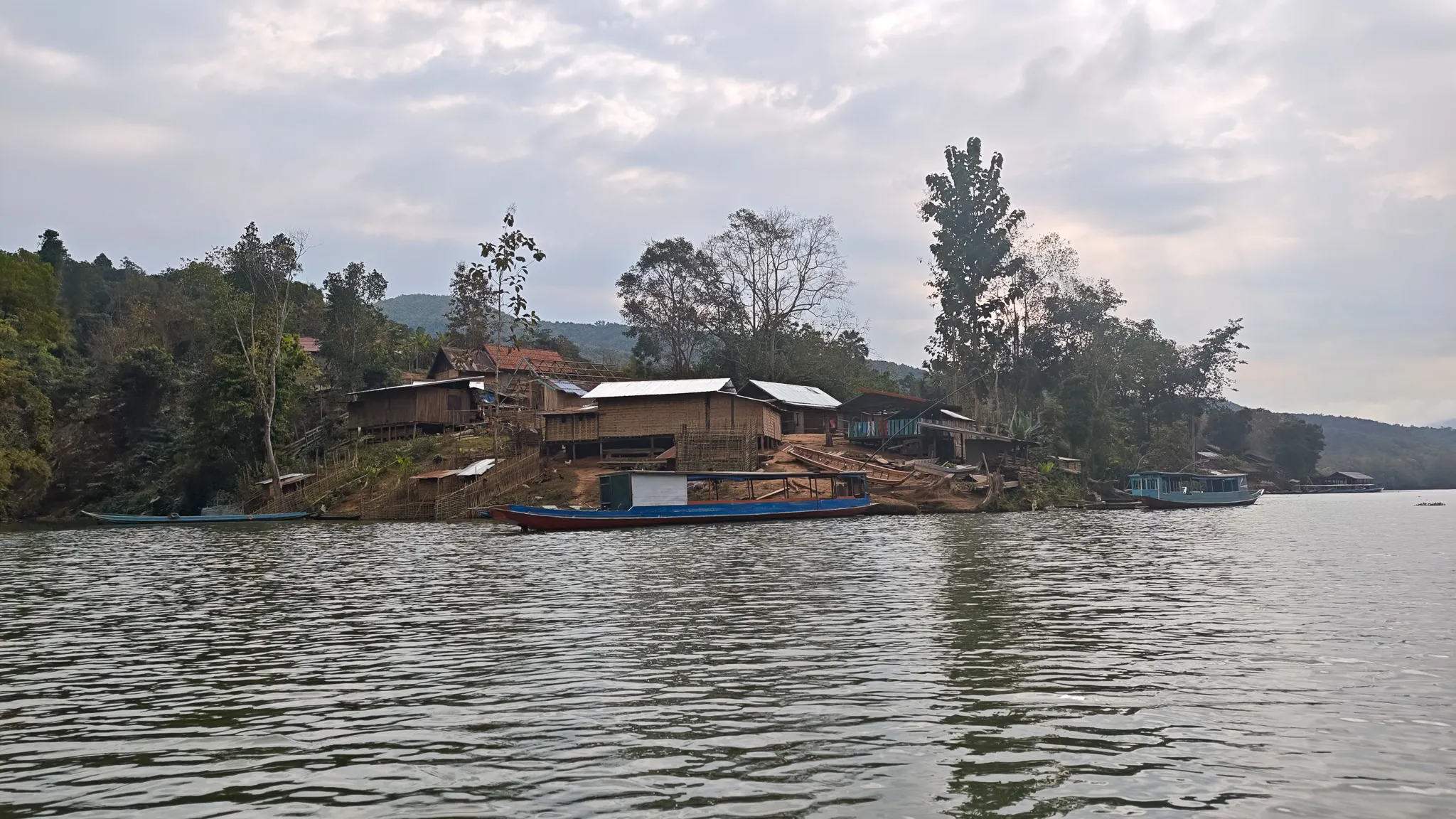
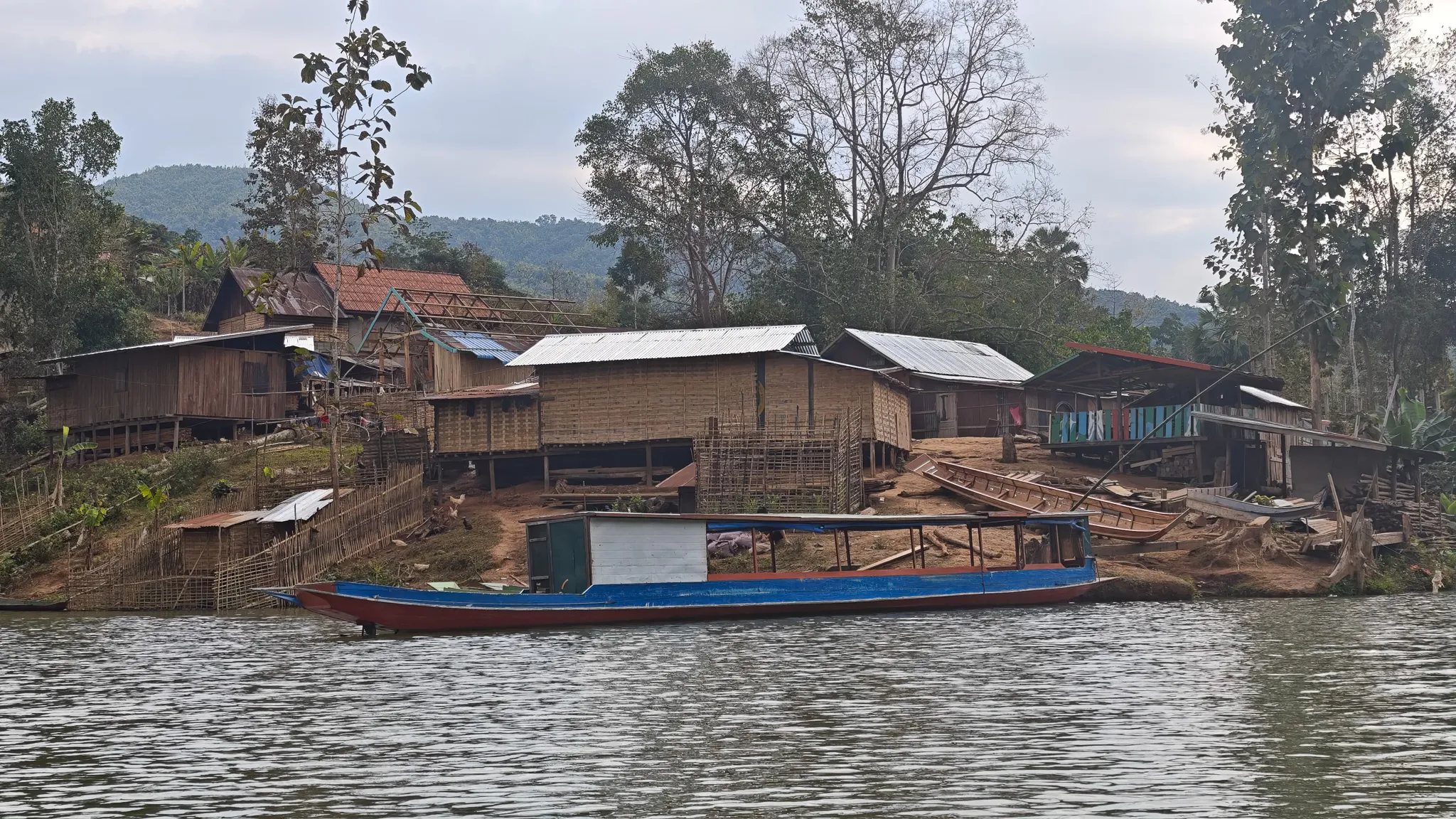
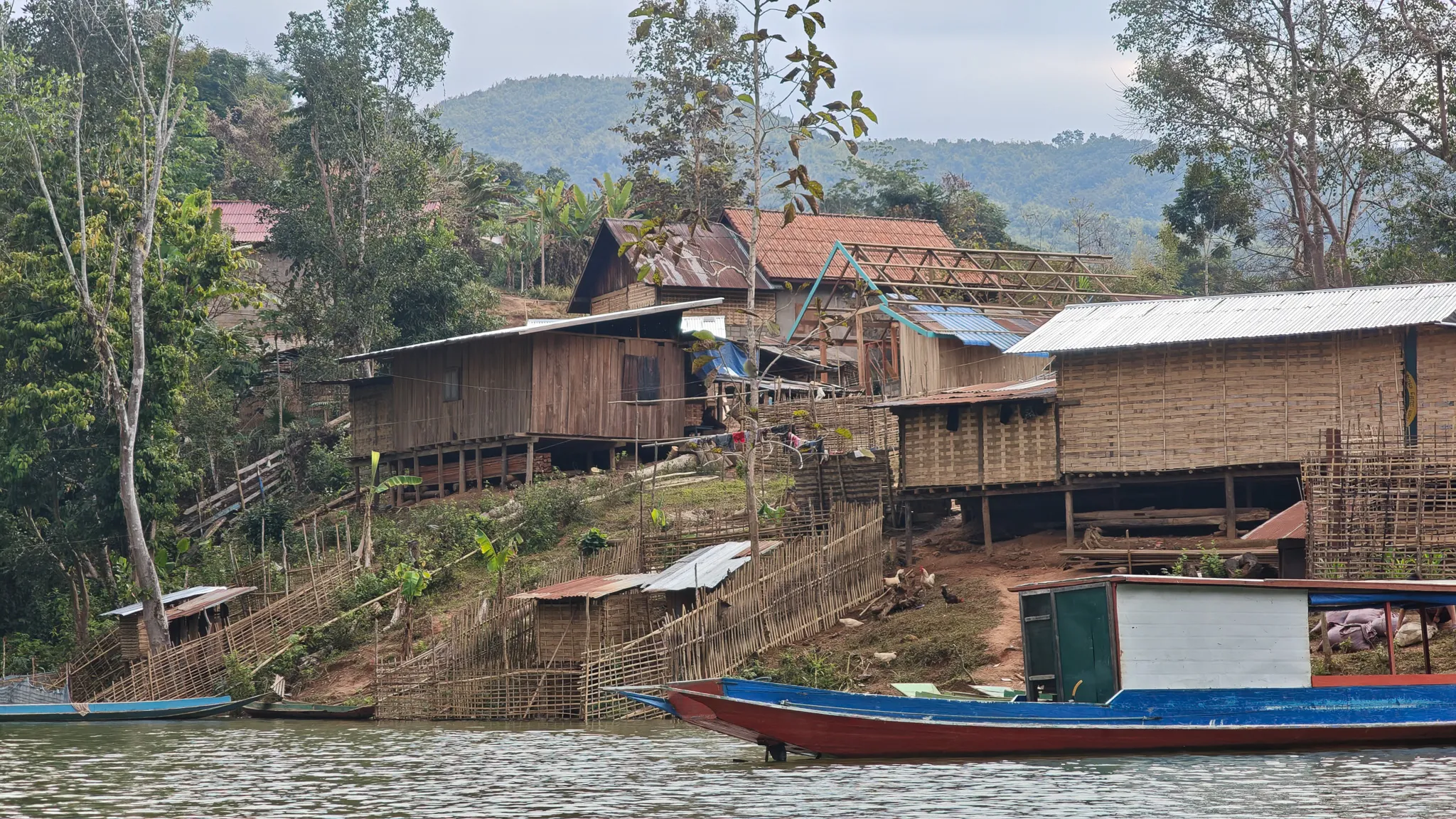
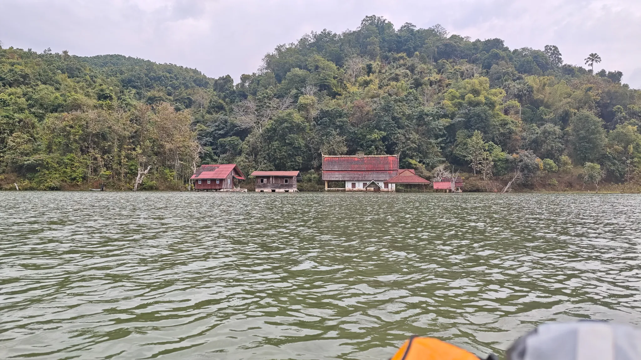
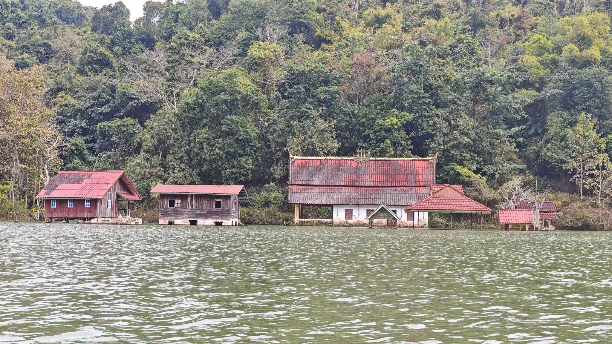
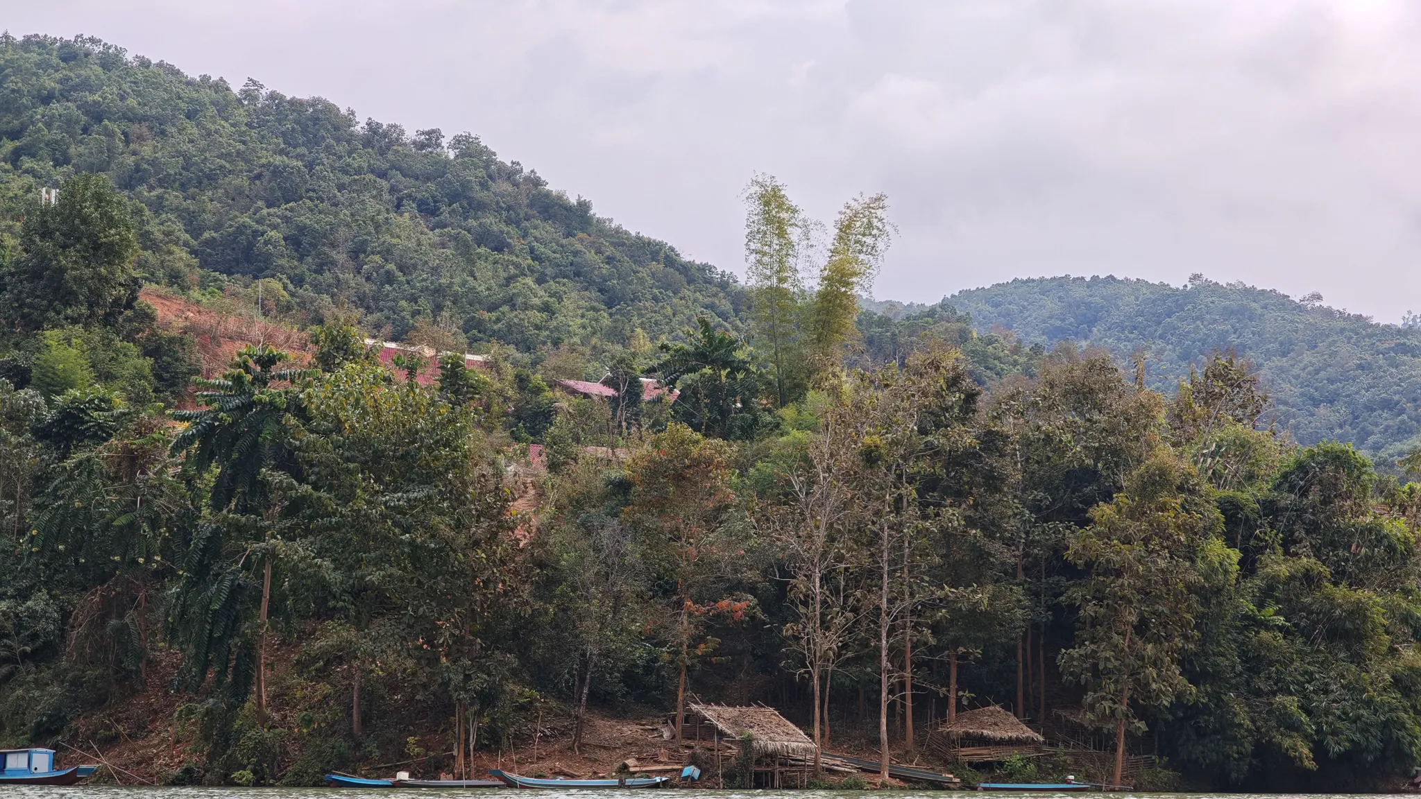
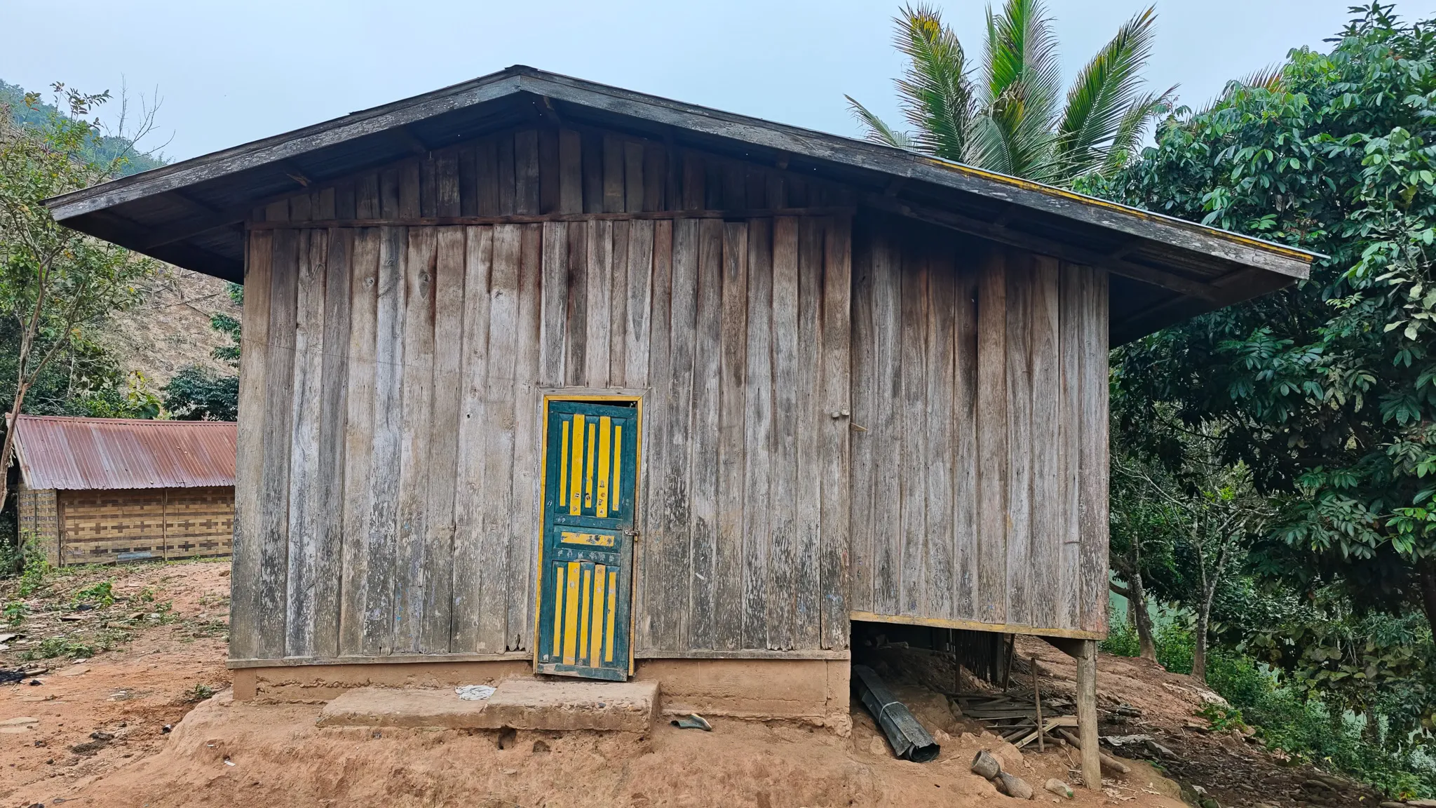
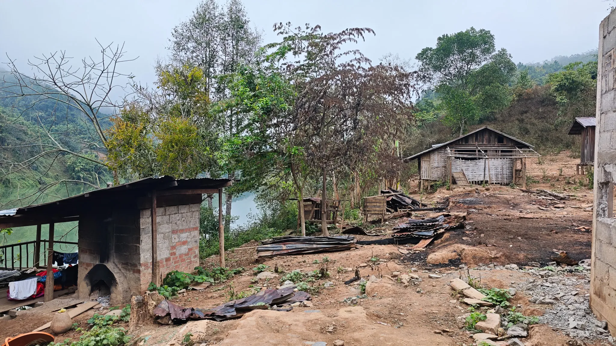
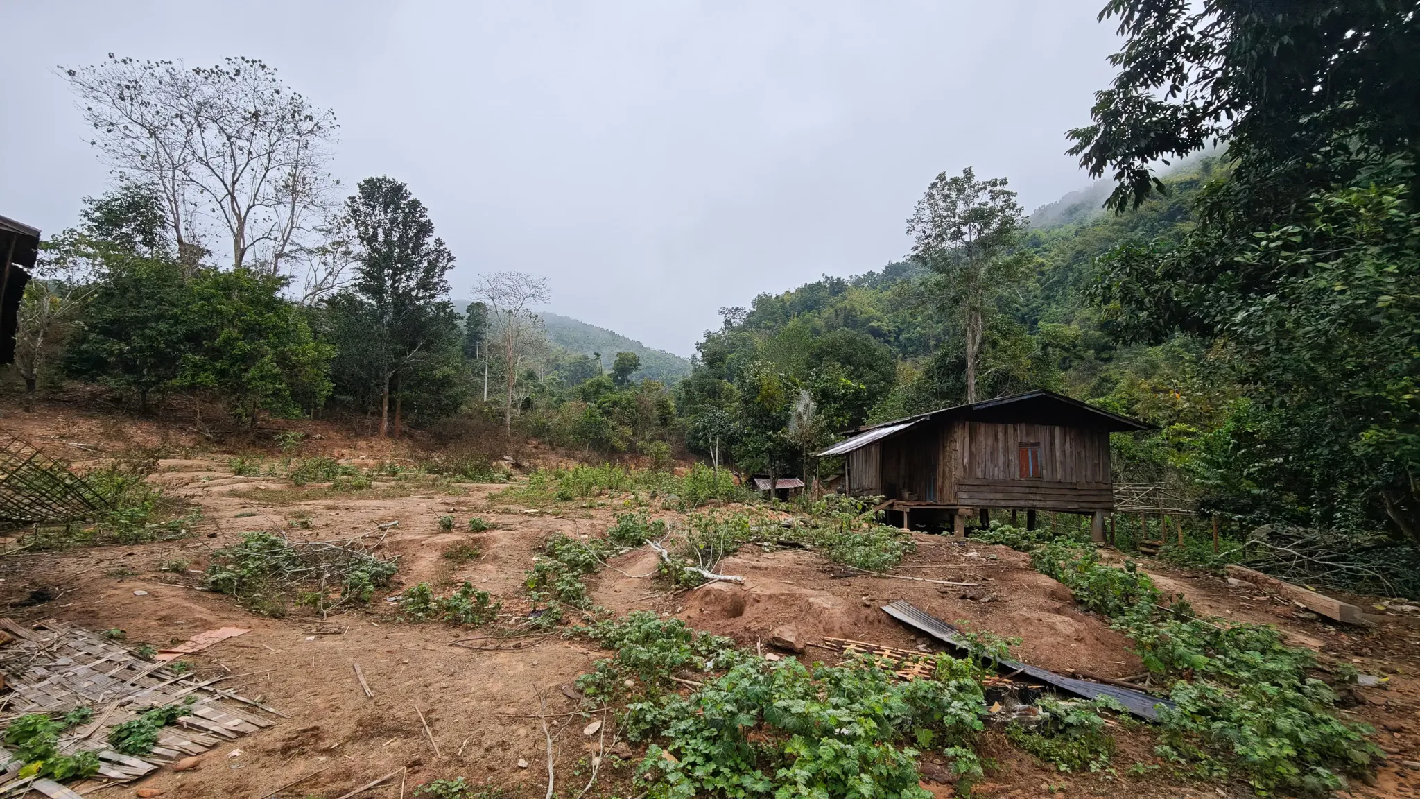
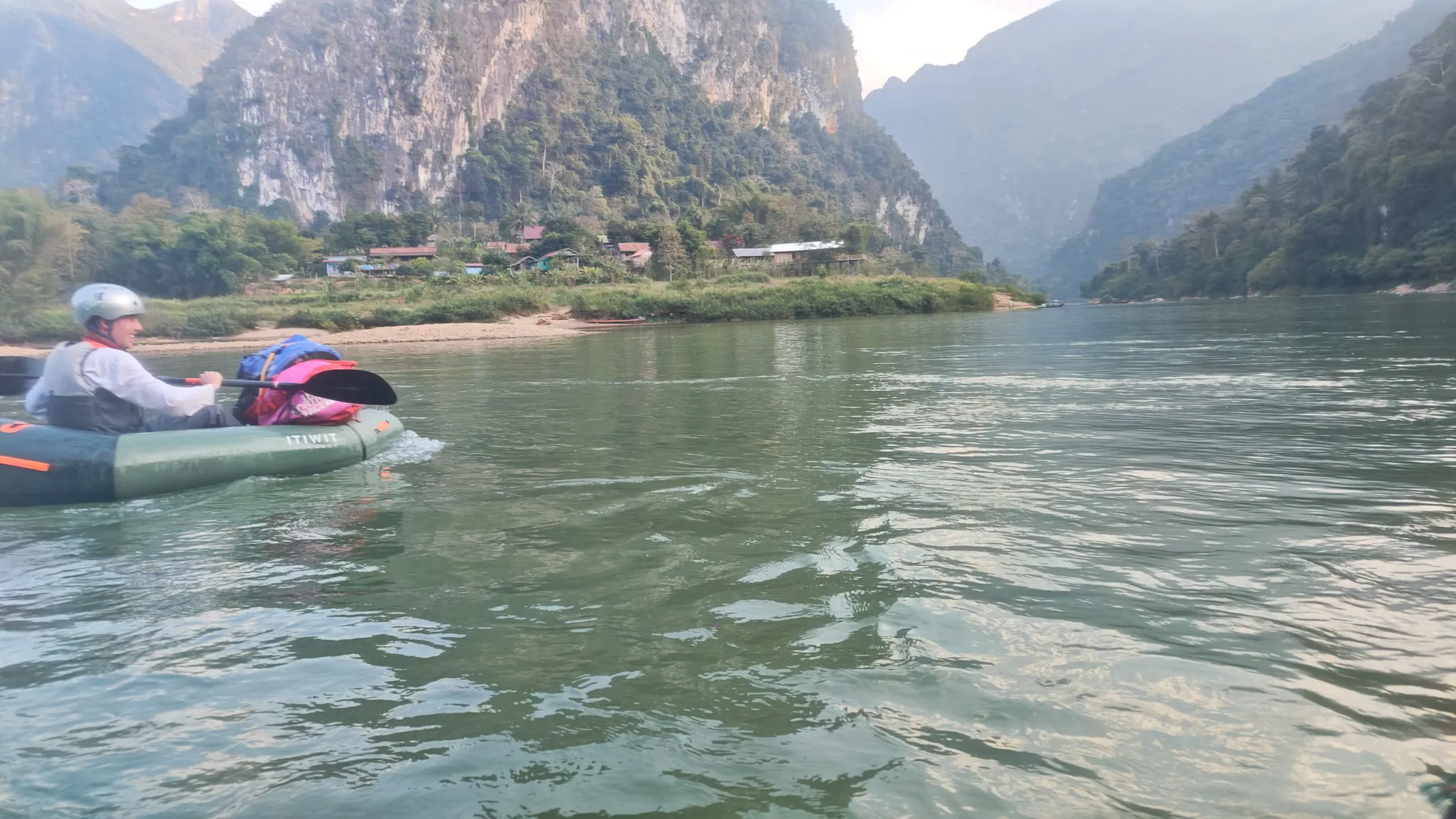
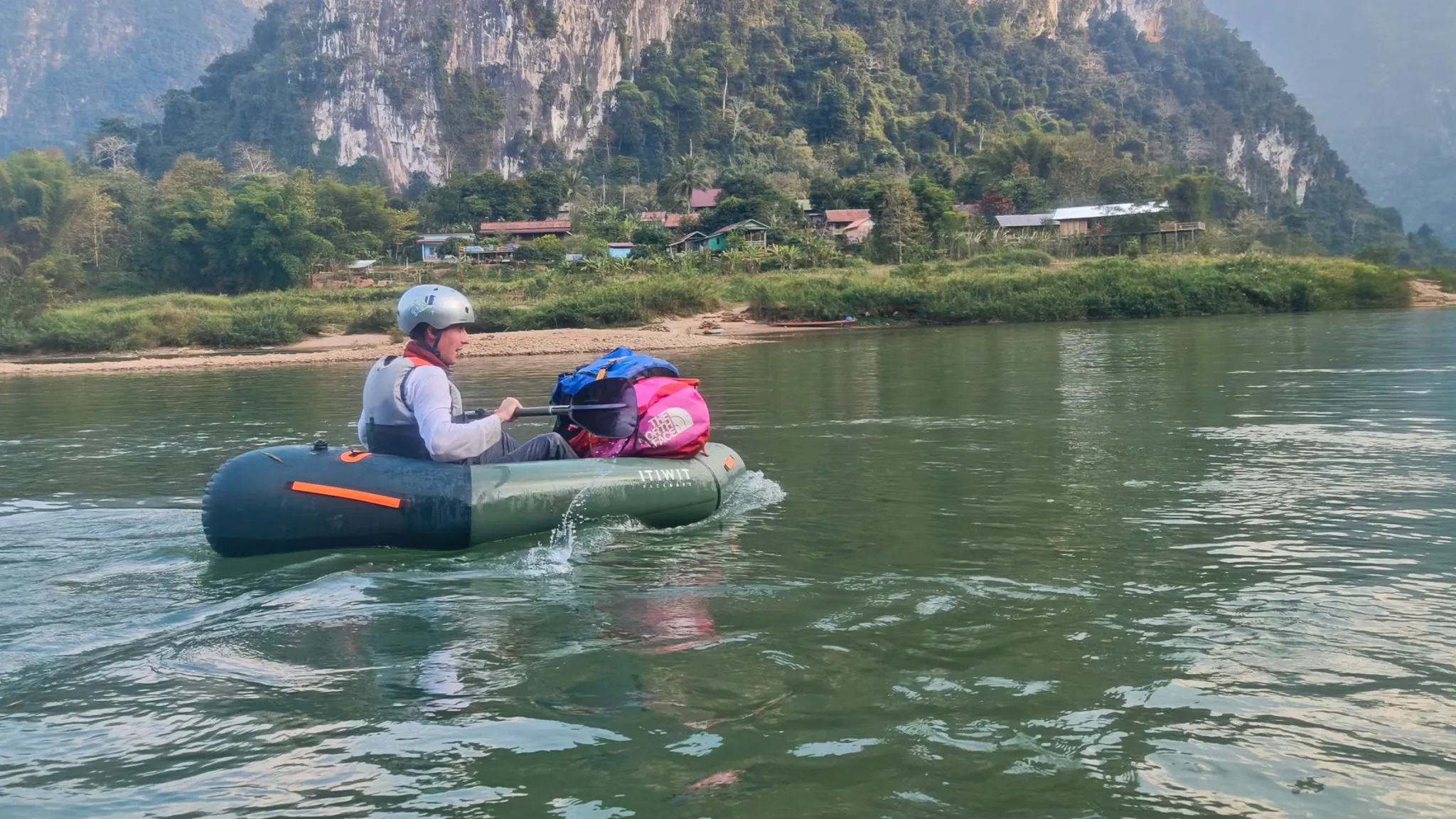
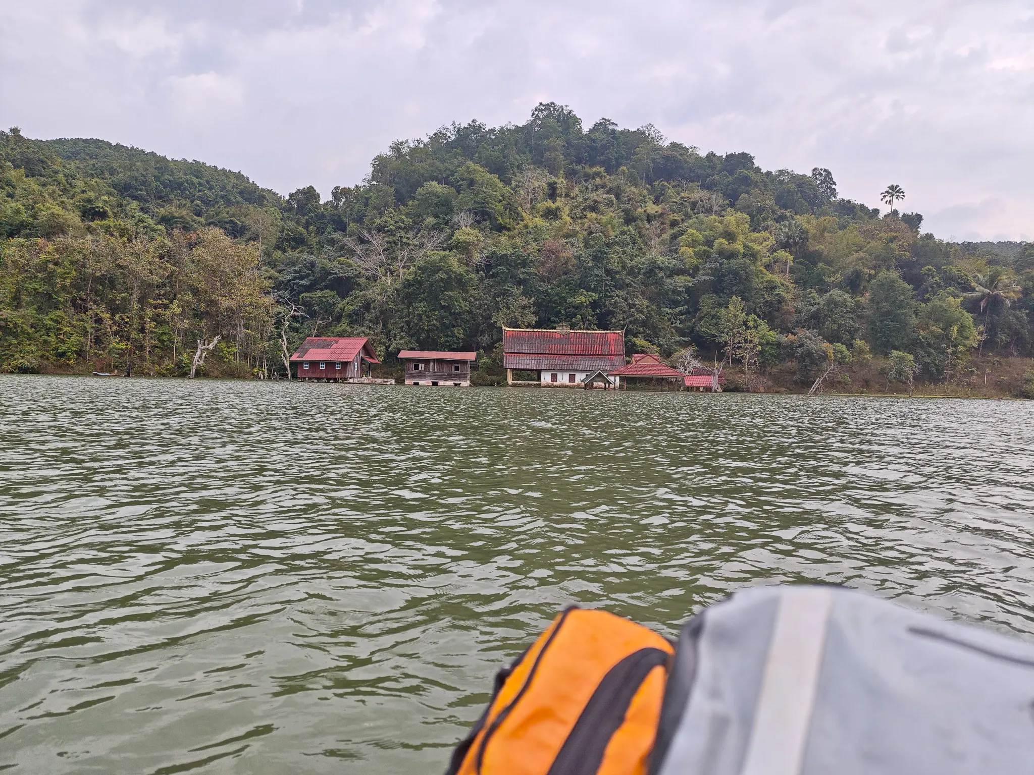
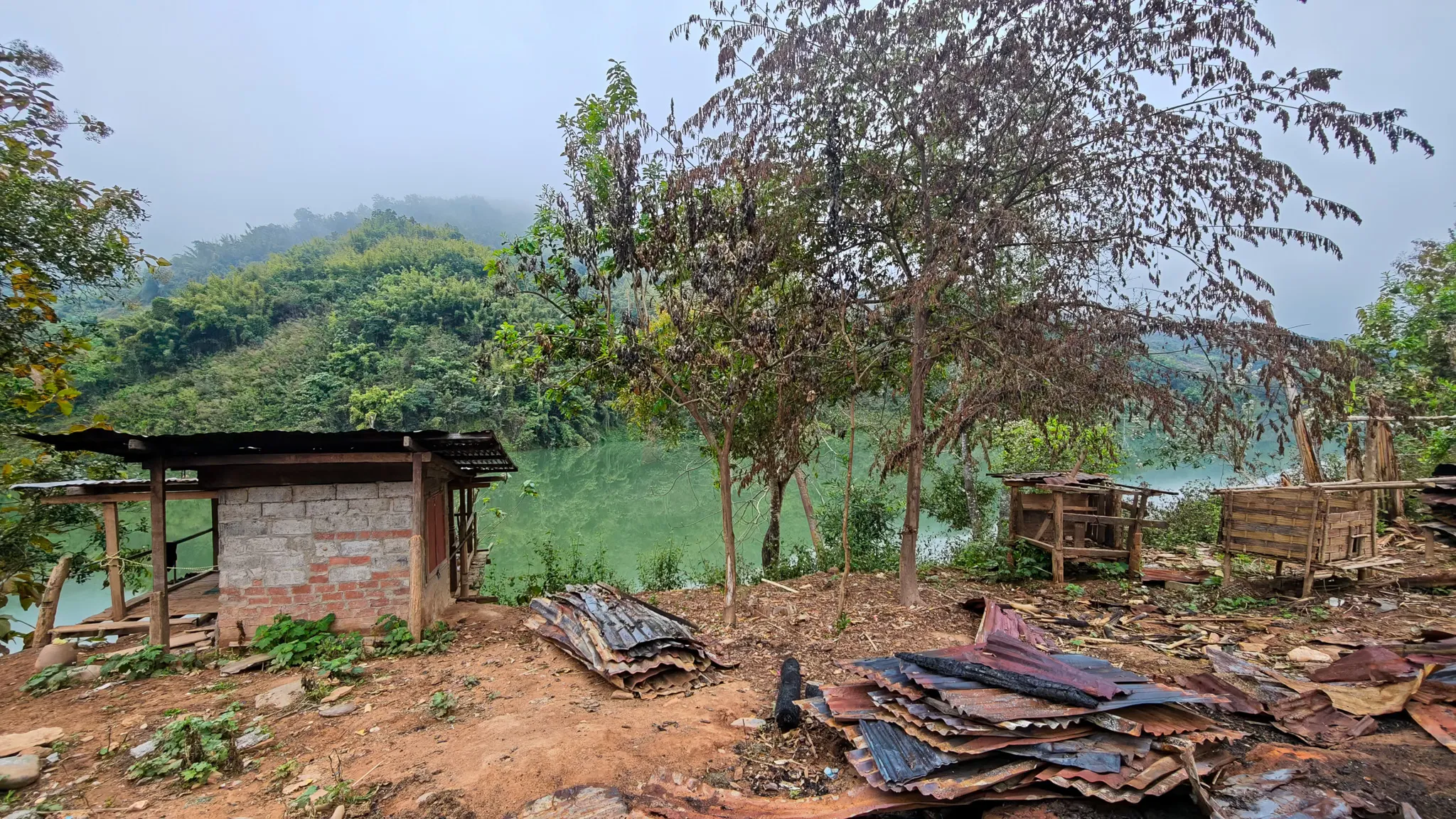
The Nam Ou runs 448 kilometres through Phongsaly and Luang Prabang provinces. On day three, we saw more of it than the previous two days combined. Village after village slid past — stilt houses with red roofs, longboats pulled up on the mud, thatched shelters on the hillsides. Each one a place we could have stopped. Each one a community that’s lived on this river for generations.

From a packraft sitting six inches above the waterline, you see villages the way they were designed to be seen — from the river. The houses face the water. The boats are the front doors. The road, if there is one, is an afterthought.
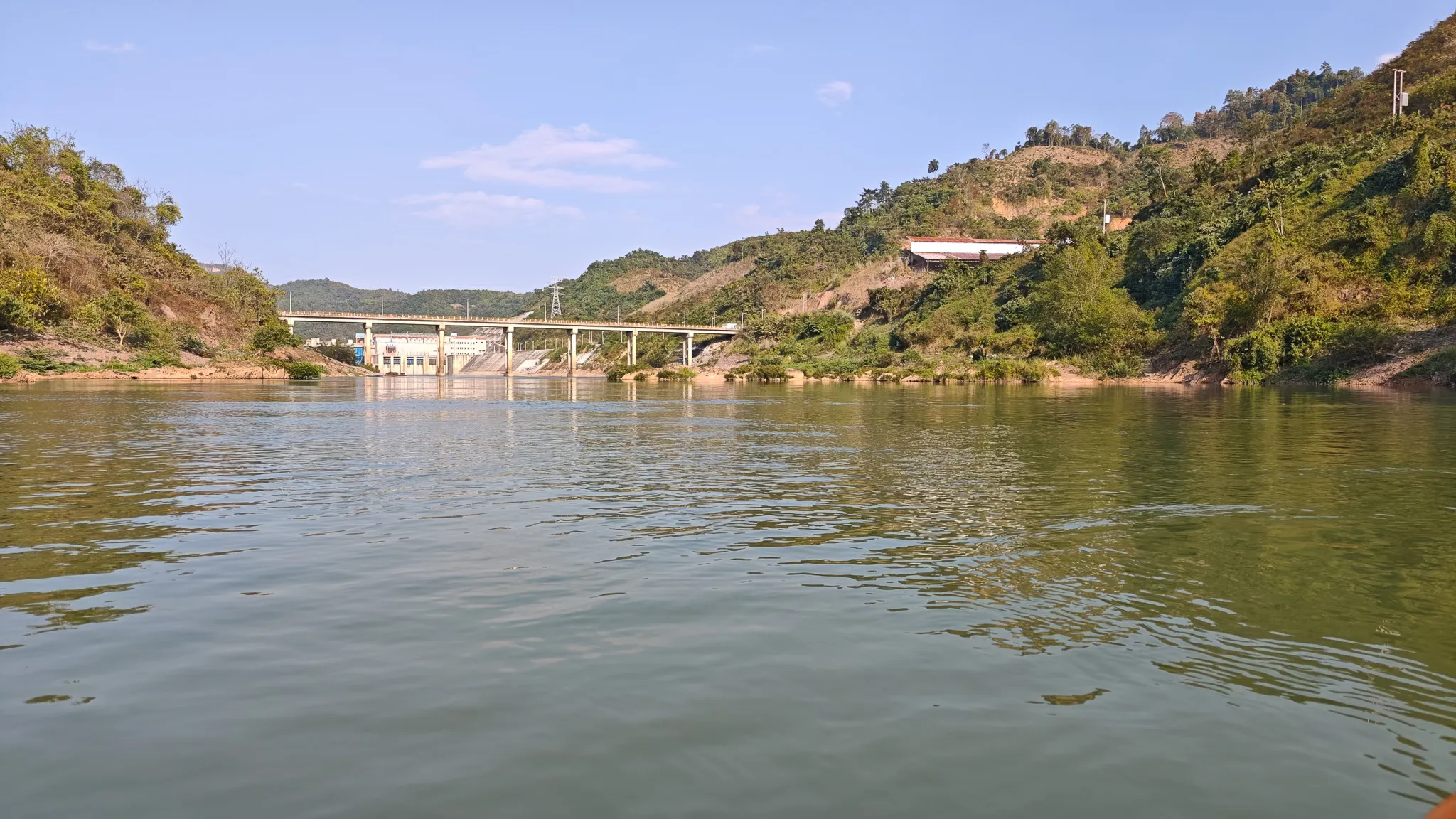
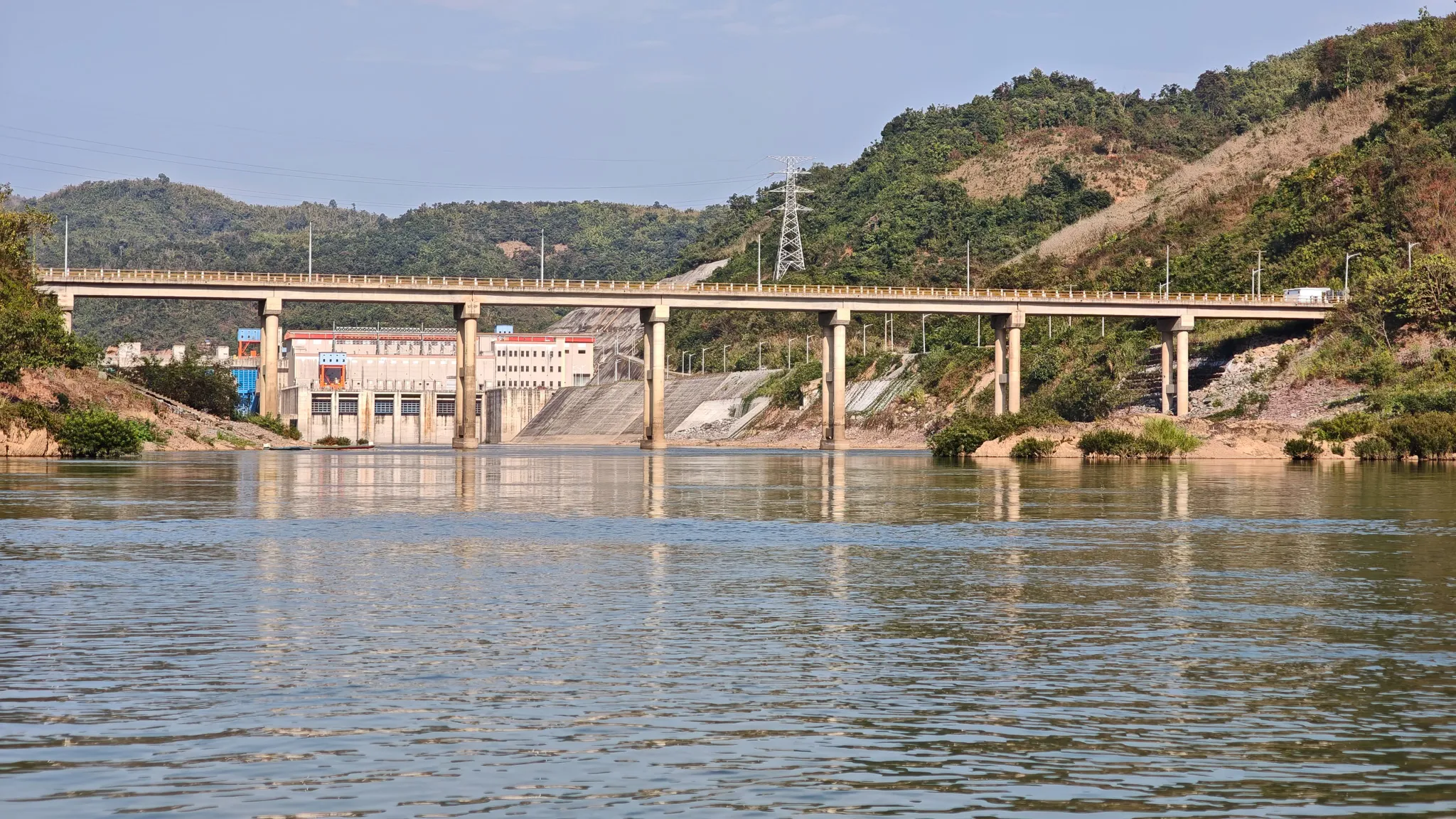
Riverside village with stilt houses and a blue longboat seen from the water while kayaking the Nam Ou Closer view of bamboo and wooden stilt houses with a blue longboat moored at a Nam Ou river village Hillside village with bamboo stilt houses, scaffolding and a blue longboat along the Nam Ou river bank
Red-roofed buildings nestled in dense jungle on the bank of the Nam Ou river, seen from an approaching kayak Wide view of red-roofed village buildings backed by forested hills on the Nam Ou river in Laos Village with thatched-roof shelters and longboats at the base of a densely forested hillside on the Nam Ou river
Weathered wooden house with a colourful yellow and green door in a village along the Nam Ou river Village houses with wooden walls and corrugated roofing near the Nam Ou river, with dense jungle-covered hills behind A stilted wooden house on cleared red earth surrounded by jungle in a village along the Nam Ou river

The Dam

Portage

The Nam Ou cascade’s seven dams have turned stretches of free-flowing river into reservoirs. When you hit one, that’s it — you unkit everything, deflate the packrafts, strap the gear to your back, and find a way around. Ours was a songtaew — a converted pickup truck — that bumped us down a dirt road to the base of the dam. Then you inflate, repack, and start again.

It breaks the rhythm. It also reminds you that this river is contested ground — between the people who’ve fished it for centuries and the hydropower companies who’ve dammed it for export.

Dirt road leading into a small village below a Nam Ou dam, with karst mountains rising in the background First Nam Ou hydroelectric dam seen from the water while approaching by packraft, with forested hills on both sides Close-up of the Nam Ou hydroelectric dam and road bridge with spillway and power station visible
Karst cliffs rising ahead — approaching Muang Ngoi

The Finish

Karst Cliffs & Muang Ngoi

The last stretch was the most dramatic. The limestone karst mountains appeared — vertical cliffs rising straight from the water, the kind of geology that makes you stop paddling and just look. The light was dropping, the cliffs were turning amber, and the river was pulling us towards Muang Ngoi.

We arrived wet and exhausted. Nearly 70 kilometres over three days, with the final push bringing us to 87 km. We’d paddled the Nam Ou from Muang Khua to Muang Ngoi in packrafts. As far as we know, nobody had done it before us.

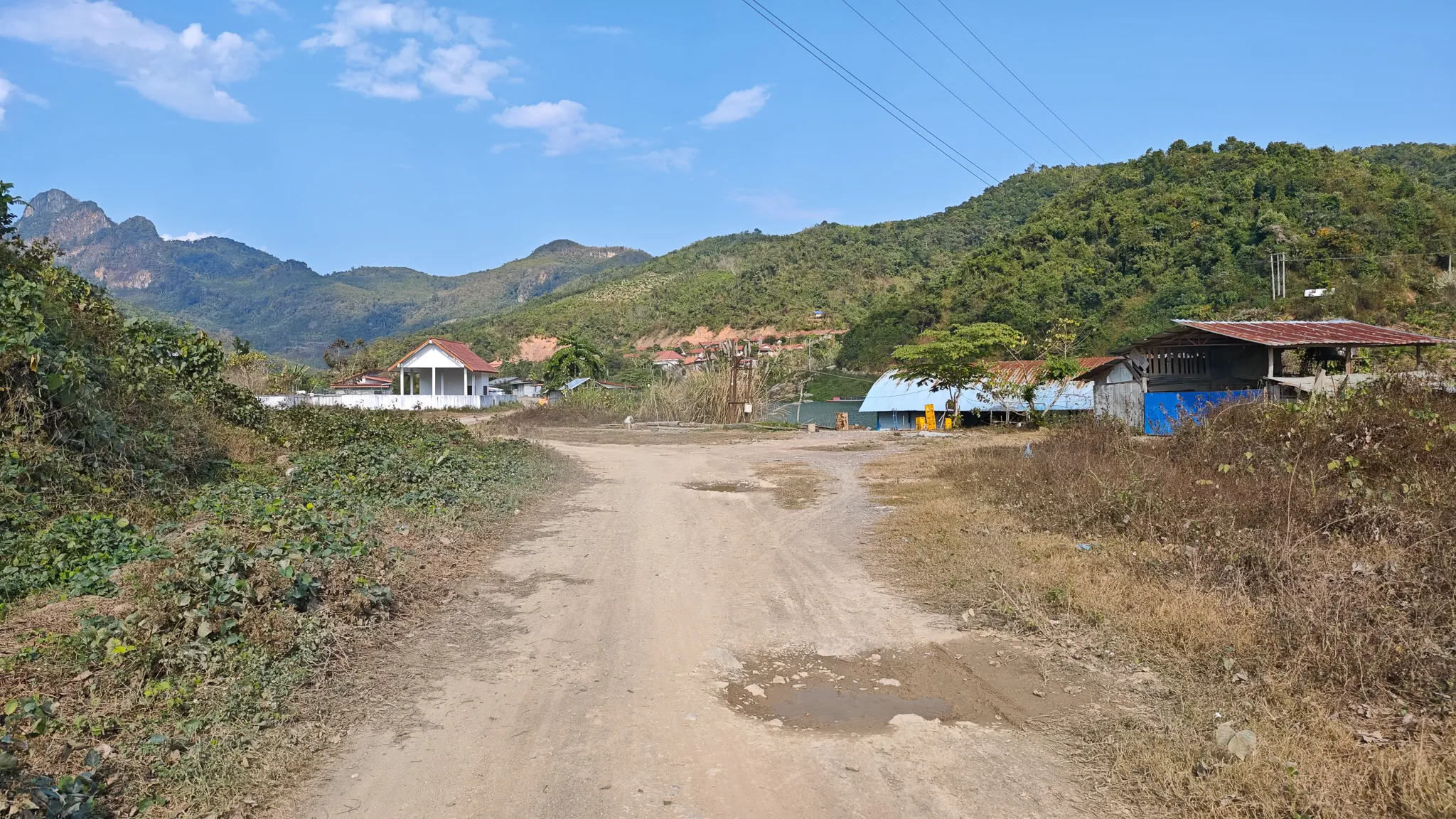
Muang Ngoi feels like an island — you can only reach it by boat. There’s a tourist strip, but beyond that it’s just river and mountains and the sound of something that isn’t traffic. We pulled the packrafts onto the shore and stood there for a moment. We’d made it.

Packrafter paddling an Itiwit kayak on the Nam Ou river with dramatic karst limestone cliffs and Muang Ngoi village ahead Packrafter in helmet and buoyancy aid paddling a loaded Itiwit kayak towards Muang Ngoi with towering karst mountains behind
Packrafter in a red jacket standing beside a tree overlooking the Nam Ou river and a village shelter Paddler posing by a tree near a riverside shelter on the banks of the Nam Ou river in Laos Red-roofed riverside buildings viewed from a packraft on the Nam Ou river with jungle-covered hills in the background
Trees and a small shelter on the bank of the Nam Ou river on a hazy morning in northern Laos Cattle roaming among wooden houses and cinder-block buildings in a village beside the Nam Ou river

After the Paddle

Muang Ngoi — The Island That Time Forgot

Honey ginger tea, Angee’s BBQ, and fording the river because the bridge was right there.


Read Next →